
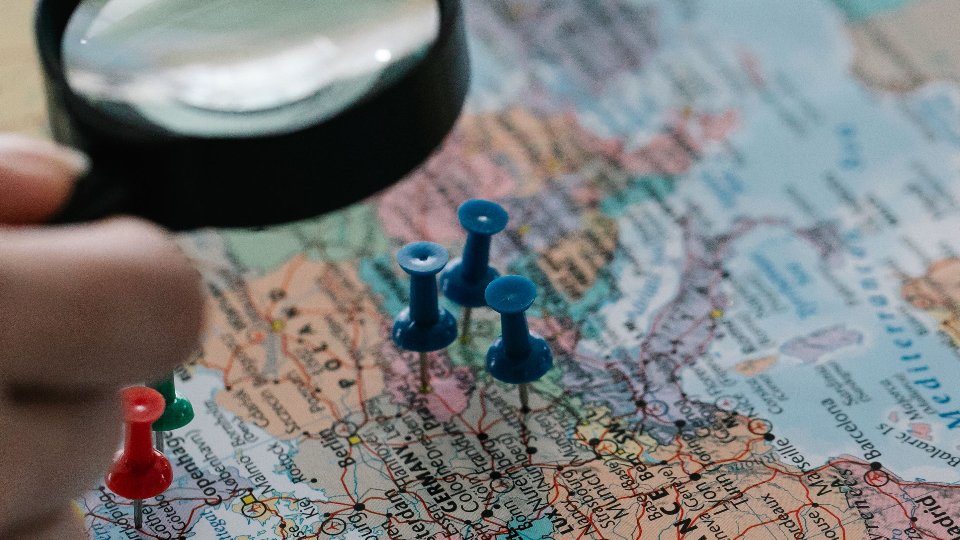
Generic GPS pins are honest about one thing: a coordinate. They are silent about everything else your team needs — what kind of place this is, why it matters, who to call, which photo proves you are at the right gate, and how it differs from the seventeen other dots nearby.
That silence is why field maps full of identical pins look organised and still feel useless. People zoom, squint, tap the wrong marker, and text the group anyway.
Custom map categories fix the meaning gap. When every place has a type your organisation defines — with colour, icon, and language that match how you talk — the map stops being a dump of coordinates and starts being a working view. That is a core idea behind TejasView Intelligence.
Why identical pins create expensive mistakes
Same-looking markers fail in the field for practical reasons:
- Visual noise. A dense cluster of identical dots forces memory instead of recognition.
- Wrong assumptions. A customer site and a storage yard are not the same visit. Generic pins hide that until someone is already there.
- Slow triage. “Show me only camera points” is impossible when every place is just “saved location.”
- Training drag. New crew members cannot learn the landscape from colour and shape; they must ask veterans.
Categories are not decoration. They are a shared vocabulary painted onto geography.
What “custom category” should mean
A useful category is short, spoken, and visible:
- A name people already say — camera, site, asset, stop, depot — not a corporate thesaurus entry.
- A marker that reads on a phone — colour and icon that survive bright sun and small screens.
- Language that matches the crew — including Hindi or Gujarati labels when English-only menus slow people down.
- Enough types to filter, not so many that nobody picks correctly.
If your taxonomy needs a training manual, it will collapse into “Other.” Start with five to twelve categories that cover 90% of real places. Expand only when a missing type keeps causing wrong visits.
Categories plus detail beat “pin and hope”
Categories get you to the right kind of place. Detail finishes the job:
- Address and approach notes for the last hundred metres
- Contacts that belong to the place, not to someone’s private phone book
- Photos and a gallery so “blue gate” is evidence, not poetry
- Comments so the next visit inherits what changed
TejasView is built so locations carry categories and that richer record — on a list when you are scanning, on a map when you need geography, and in a detail view when you need the full story. Operators can keep categories and map content coherent from the web dashboard while field users stay on the mobile app.
A pin without a category is a coordinate. A category without detail is a rumour with branding.
Design categories like a filter, not a filing cabinet
Good category design answers questions your team already asks:
- What am I visiting today?
- What should I ignore on this route?
- What looks urgent from the map at a glance?
Bad category design answers questions nobody asks (“Tier-2 Subclassification B”) or mixes status with type (“Broken camera” as a permanent category instead of a comment or operational flag). Prefer stable types. Put temporary state in comments and updates.
A practical category workshop (90 minutes)
Minute 0–20 — Dump. Write every place nickname your crew uses on a whiteboard. Do not organise yet.
Minute 20–45 — Cluster. Group nicknames into candidate types. Merge ruthlessly. Kill cute duplicates.
Minute 45–70 — Marker pass. Assign colour/icon pairs that remain distinct when ten markers sit close together. Test on an actual phone, not a projector.
Minute 70–90 — Field sample. Recategorise twenty real places in TejasView. If people argue for more than two minutes about a single place, the category boundary is unclear — fix the definition, not the person.
Ship that set. Resist the urge to invent the perfect ontology before anyone uses the map.
List filters make categories pay rent
Categories earn their keep when someone can open a list and say “only these types.” Map colour helps orientation; filters help work. TejasView’s list-and-map pairing is deliberate: categories are not just pretty legend items — they are how you shrink a large workspace to today’s job.
That matters more as your location count grows. Generic GPS collections get worse with scale. Categorised systems get clearer — if you keep the taxonomy honest.
Where to go next
If your map still looks like a sky of identical pins, start with the GT Apps page for TejasView Intelligence, then continue at tejasview.com. Join a workspace, define a small set of categories, and recategorise the places that already cause wrong turns.
Keep generic GPS tools for personal navigation. Put team geography into categories your crew can read at a glance. And if you need a marker style or language label we have not covered, request what you need — the best map is the one that matches how you already work.
FAQ
How many categories should we start with?
Usually five to twelve. Add more only when a missing type repeatedly causes confusion.
Do categories replace photos and comments?
No. Categories sort; detail decides. Use both.
What if different teams need different types?
Keep a shared core for the workspace, then add only types that multiple people will use — orphan categories become clutter.
English-only markers for a multilingual crew?
Prefer the languages people actually speak in the field. TejasView supports English, Hindi, and Gujarati in the mobile app.