
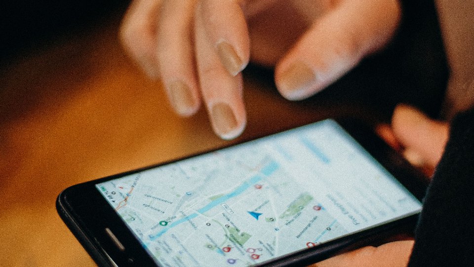
It starts innocently. Someone drops a Google Maps link in the group. Someone else forwards a live location. A third person screenshots a pin and writes “camera near the blue gate” in the caption. For a day, it works. For a quarter, it becomes archaeology.
Field teams do not lose places because they are careless. They lose places because chat is a conversation tool pretending to be a map database. Pins scroll away. Captions disagree. New hires inherit a mess of half-named landmarks.
If your work depends on sites, assets, cameras, service points, or any place you must find again, stop pinning those places only in chat. Give them a real location system. That is the job of TejasView Intelligence — your map, your data, your view.
What goes wrong when the map lives in WhatsApp
Chat pins fail in predictable ways:
- Search is hopeless. “Where was that transformer?” becomes scrolling, guessing, and asking the person who left last month.
- Names drift. The same place gets three nicknames and zero official title.
- Details detach. Contact numbers, photos, and notes live in different messages from the pin.
- Categories do not exist. A camera point, a customer gate, and a storage yard all look like the same blue dot.
- Onboarding is painful. New team members start by collecting folklore instead of opening a shared map.
None of this means you should ban messaging. Keep chat for “I am nearby” and “gate is locked.” Stop using it as the only archive of places that matter.
A location is more than a lat-long
A useful field location carries enough context that a stranger on your team could act:
- Where it is on a map you control
- What kind of place it is (your categories, not a generic GPS dump)
- Address or approach notes people actually use
- Contacts, photos, and comments that stay attached
- A list view when the map is the wrong tool for scanning
Generic “save to my maps” helps one person. Teams need a shared workspace where places are records — filterable, branded, and durable.
What a real location system looks like
TejasView Intelligence is built around that idea:
- Join a workspace with a join code, then sign in so the team shares one map world
- Browse places as a list or on an interactive map
- Add and edit locations with categories, details, photos, and contacts
- Open a place for full detail, gallery, and comments so updates do not vanish in chat
- Work in English, Hindi, or Gujarati when your crew does not live in one language
- Let operators keep the system coherent from a web dashboard — categories, locations, users, map content — while the field app stays light
That combination is the difference between “someone pinned it once” and “we can find it in two taps.”
If a place matters next month, it belongs in a location system — not in last Tuesday’s scroll.
When chat pins are still fine
Use chat for ephemeral geography:
- Meeting someone in a parking lot right now
- Sharing a temporary detour for today only
- Sending a quick “I am here” during a live job
Promote a pin into TejasView when any of these are true:
- Someone else will need the place next week
- The place has a type your team cares about (camera, site, asset, stop, and so on)
- You expect photos, contacts, or comments to accumulate
- A new hire should find it without asking three people
A one-week migration that does not invent busywork
Day 1 — Workspace. Join or confirm the TejasView workspace. Agree who can add places and who reviews categories.
Day 2 — Categories first. Define a short set of categories that match how you talk — not a 40-item taxonomy nobody will use. Colour and markers should be readable on a phone in sunlight.
Days 3–4 — Import the pain, not the archive. Add the twenty places that caused the most “where is it?” messages this month. Attach one photo and one contact where it settles arguments.
Day 5 — Field rule. New permanent places go into the app the same day. Chat links are allowed as a temporary pointer, then replaced.
Day 6–7 — Verify on the map. Walk or drive a sample route with the map open. Fix wrong pins immediately. Wrong confidence is worse than no pin.
At week’s end, ask a new team member to find three places without help. If they can, your map is becoming a system.
List + map beats map-only theatre
Beautiful maps fail when people need to scan. A searchable list with filters answers “show me all camera points in this area” faster than zooming and squinting. TejasView keeps both surfaces: list for triage, map for geography, detail for the full record.
Operators who manage many locations also need a calm web side for bulk structure — types, groups, users, content — so the mobile app stays a field tool rather than an admin console. TejasView’s operator dashboard exists for that split.
Where to go next
If your important places still live in chat archaeology, start with the GT Apps listing for TejasView Intelligence, then visit tejasview.com for the website and downloads. Google Play may be invite-only while closed testing continues — use the site path that fits your team.
Keep messaging for the moment. Put lasting places on a map you own. And if your workflow needs a category or field we have not covered, request what you need — small apps win when the map matches how you actually work.
FAQ
Do we need a workspace to use TejasView?
Yes. You join with a workspace join code, then create or use your account for that workspace.
Which languages are supported?
English, Hindi, and Gujarati in the mobile app.
Is this only for large field teams?
No. Even a small crew loses hours when places are tribal knowledge.
Can we still share Maps links?
Yes for temporary coordination. Promote anything durable into TejasView so the team can find it later.