

About TejasView
TejasView Intelligence
TejasView Intelligence turns scattered places into an organised location system. Custom categories, branded markers, and a map built for how your team actually works — from field operations to everyday planning.
Who it is for
- Field teams that need a shared map of sites, assets, or camera points
- Organisations that want categories and markers that match their own workflow
- Individuals who prefer a clean location list and map in English, Hindi, or Gujarati
Mobile app
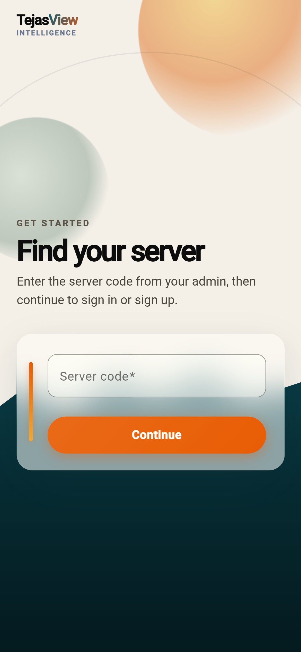
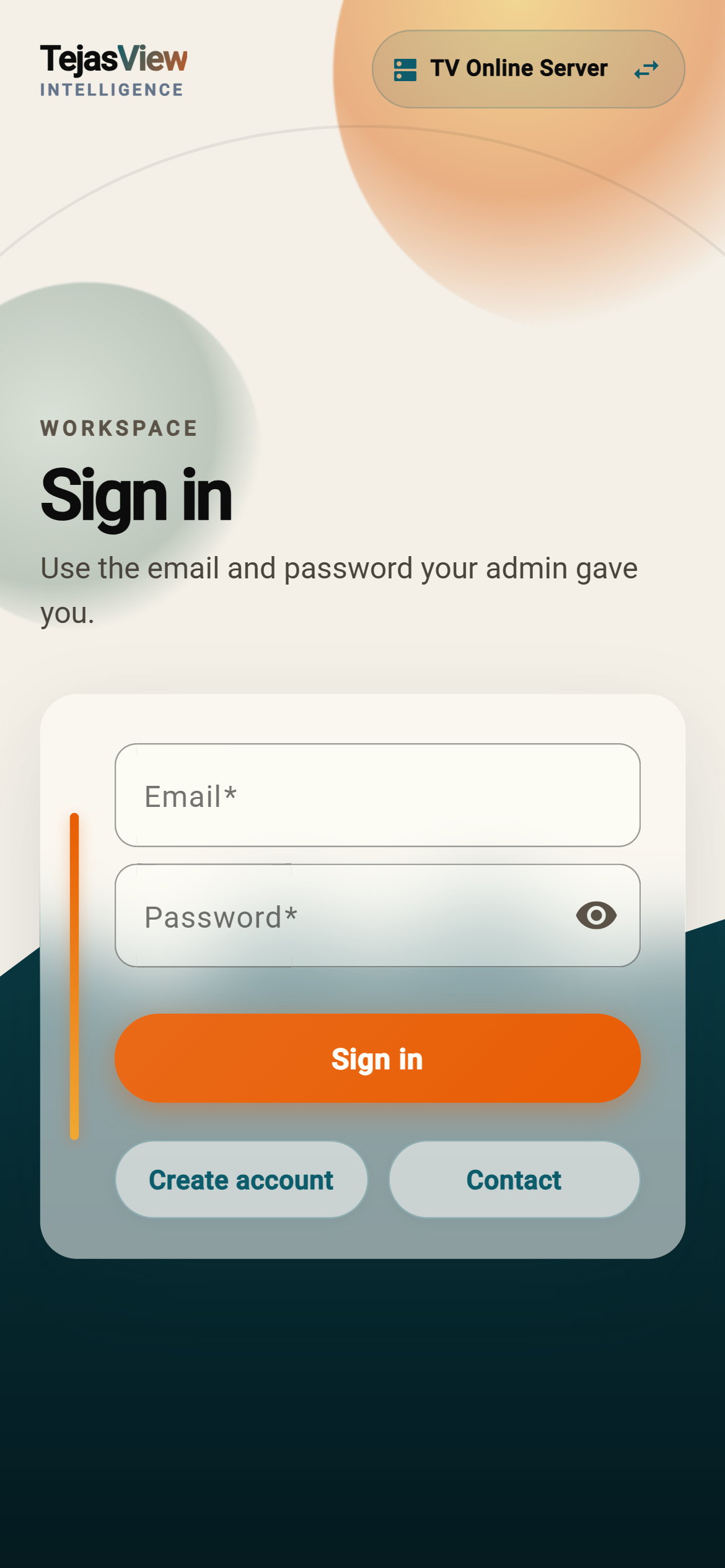
- Join your workspace with a join code, then sign in
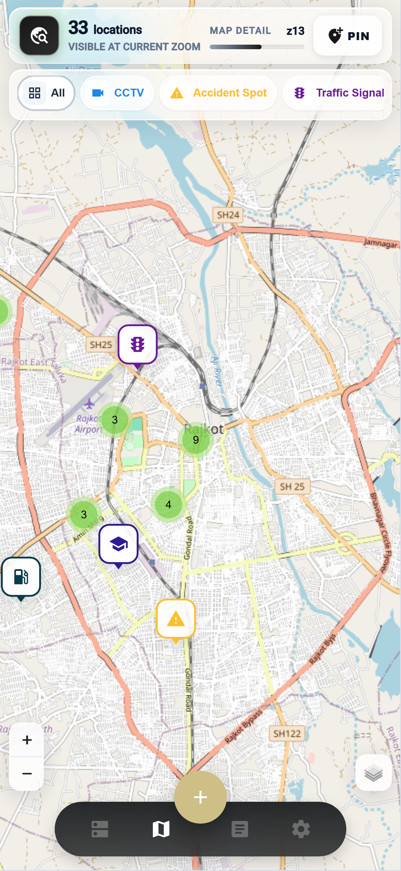
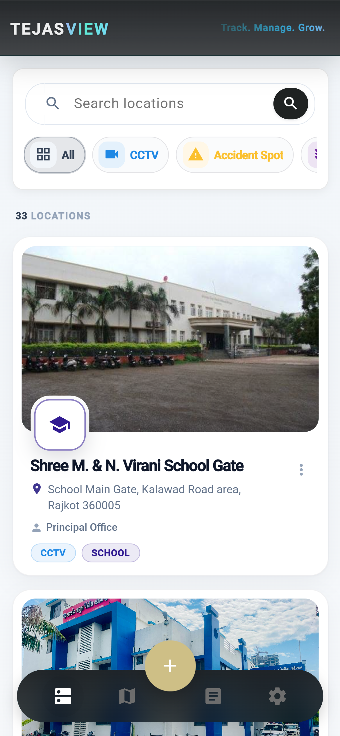
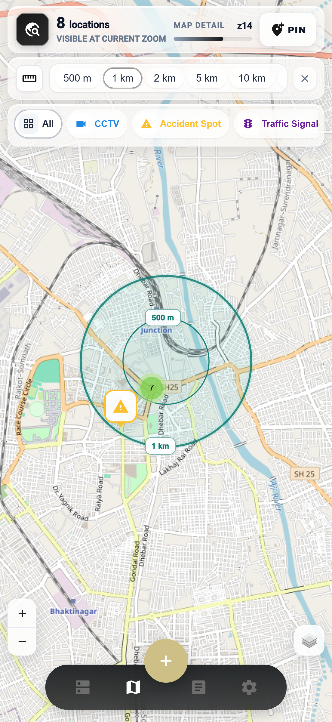
- Browse locations on a list or on an interactive map
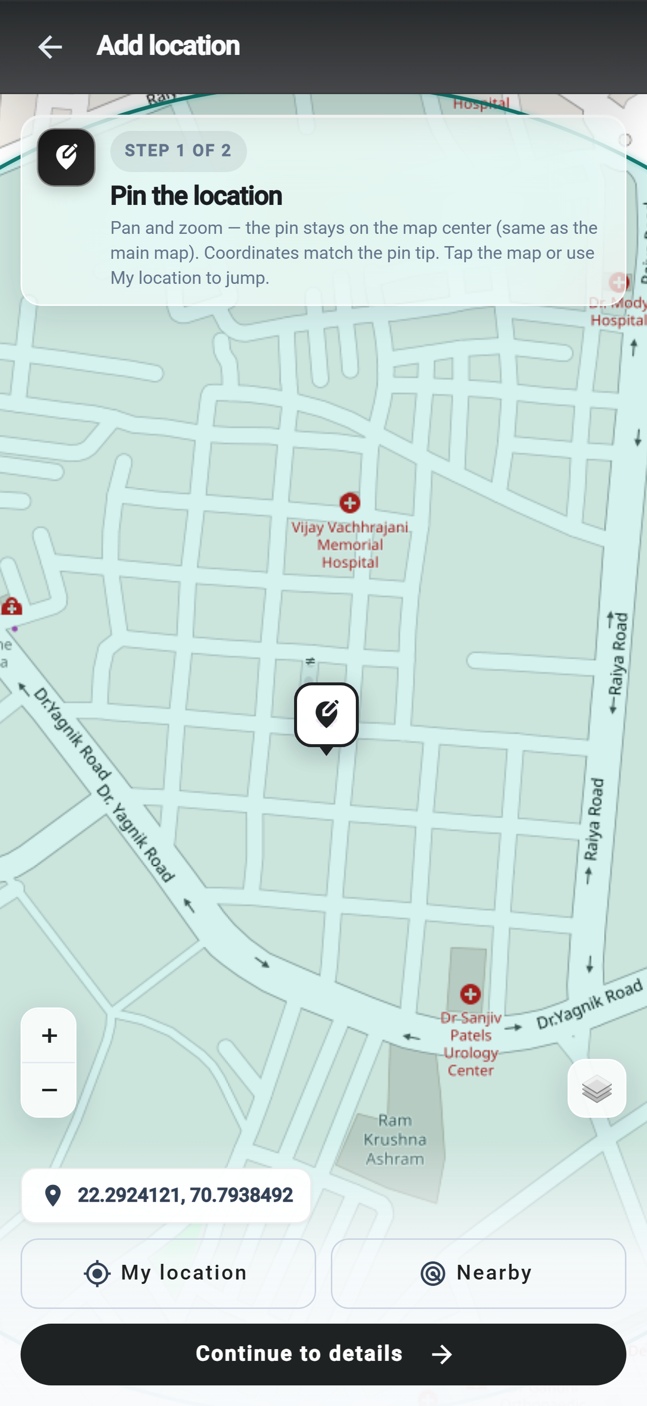
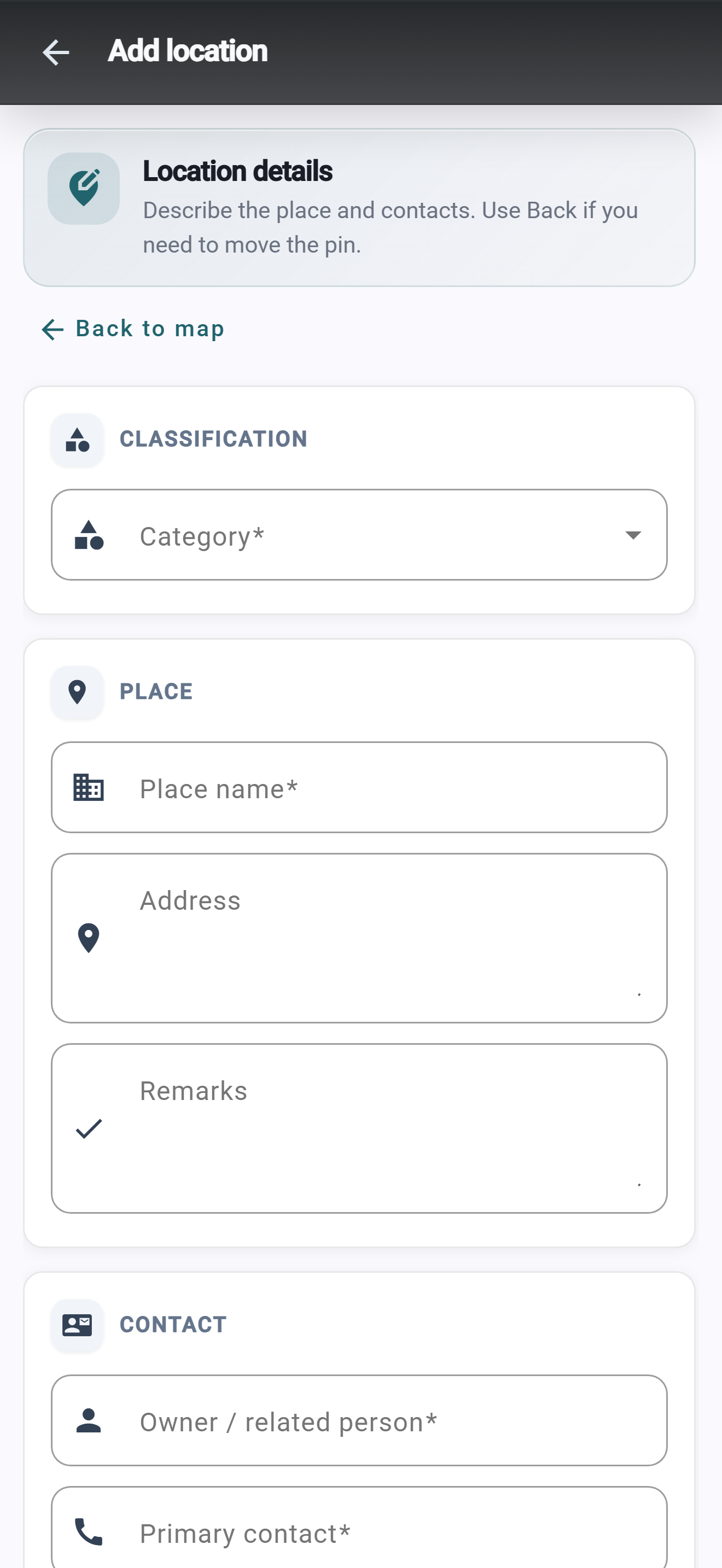
- Add and edit places with categories, details, photos, and contacts
- Open a location for full detail, gallery, and comments
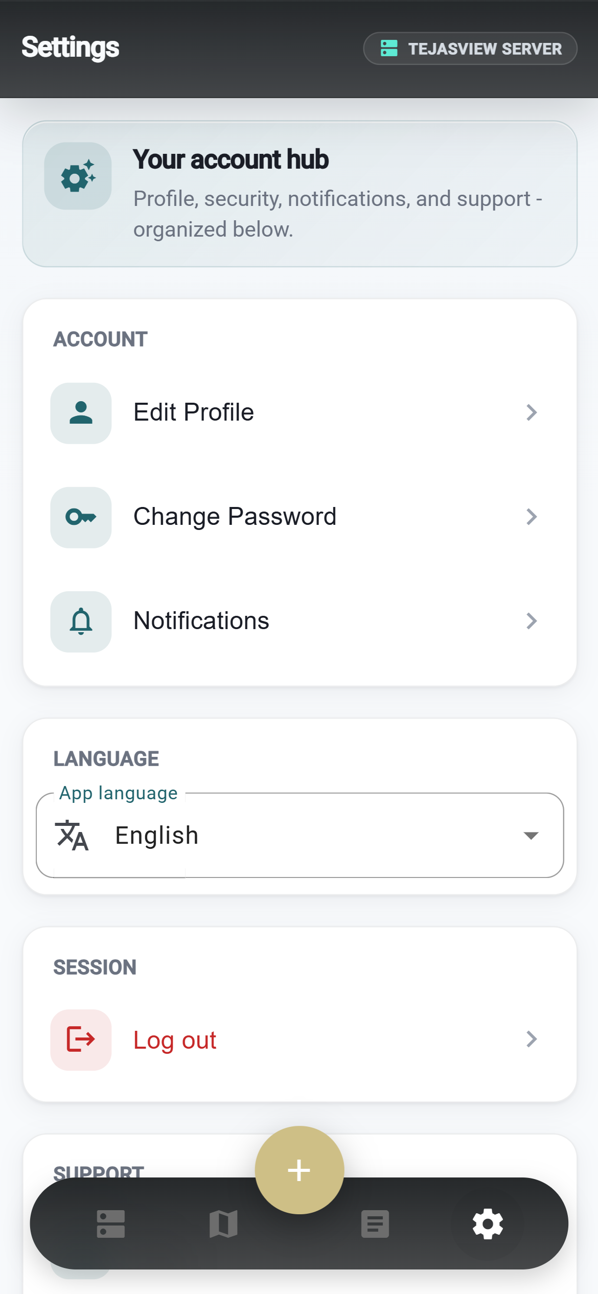
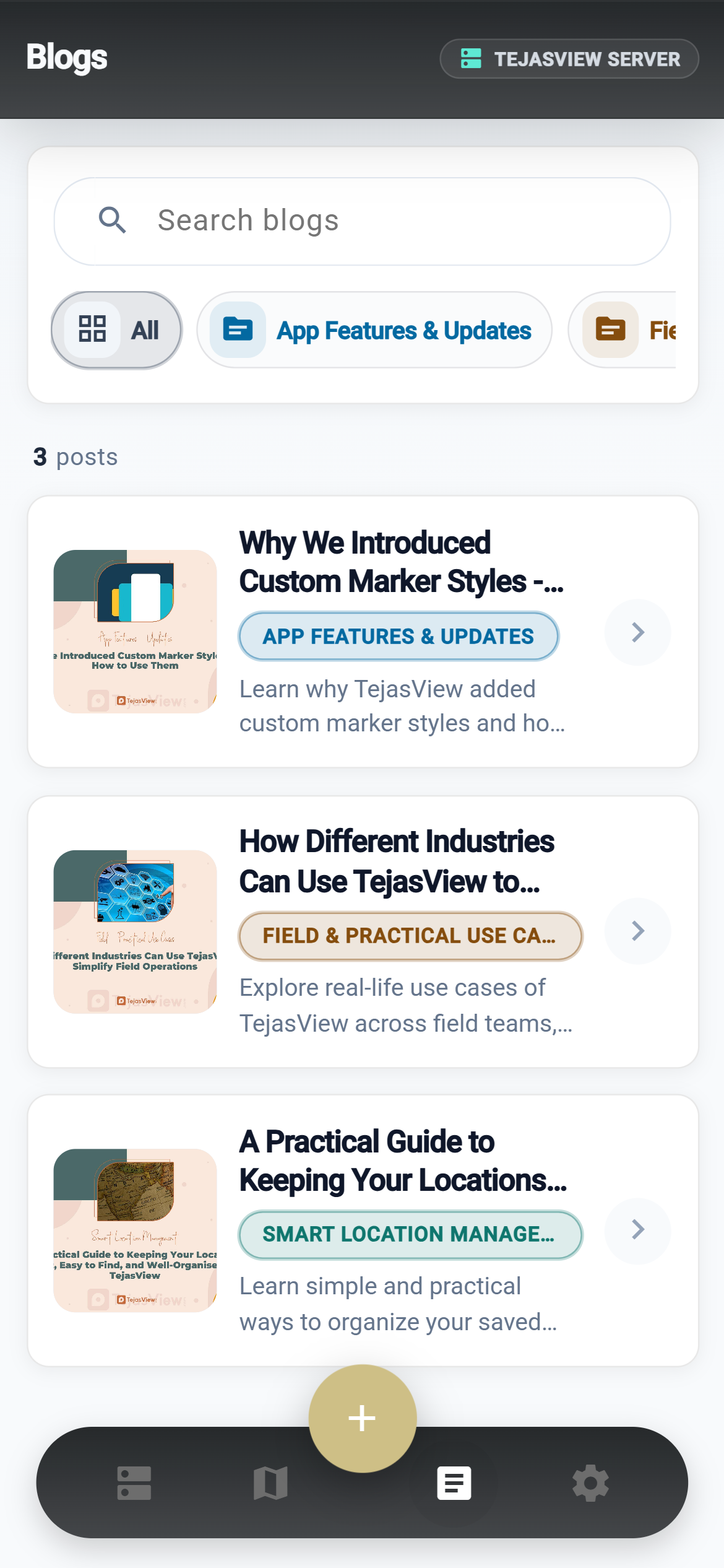
- Read workspace blogs and manage your profile and language
Operator web dashboard
Alongside the mobile app, operators can use the TejasView web dashboard to manage locations, categories, users, workspaces, map content, and blogs — so the field app stays in sync with how your organisation works.
Get started
Visit tejasview.com for the website and downloads. Google Play is in closed testing (invite-only) until the public listing opens.